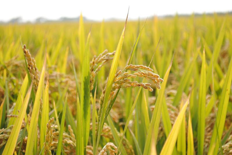
Farmers of Kyzylorda region - the main ricegrower of Kazakhstan - have been using the services of remote sensing (ERS) for the third year, which helps them to plan their work properly and take prompt measures to save their crops, reports the correspondent of MIA "Kazinform".
According to remote sensing data, 160.3 thousand hectares of sown areas of agricultural crops were determined in Kyzylorda region in 2020, of which 89 thousand hectares are sown with rice.
Specialists of JSC "NC "Kazakhstan Garysh Sapary" of the Aerospace Committee of the Ministry of Digital Development, Innovation and Aerospace Industry of the Republic of Kazakhstan are managing two domestic ERS satellites, presenting on space images a rapid assessment of the state of crops, phytosanitary situation and crop yields throughout the country.
"While monitoring the condition of rice fields in Kyzylorda region in the current period, we noted the oppressive state of plants in the rice fields of Kazalinsky district of Kyzylorda region. This is due to the deterioration of the water regime of the fields and a decrease in the water supply of Shardara reservoir. That is, one of the main reasons for the deterioration of fields in this region - lack of water, "- told the correspondent of MIA "Kazinform" Asylzhan Hasenov, engineer of the Department of Plant Production Monitoring of the Department of Spatial Data of JSC "NC "NC" Kazakhstan Garysh Sapary.
According to the monitoring, on the territory of Kyzylorda region the sown areas of rice, the condition of which is assessed as bad and very bad, were 241 hectares. For example, at the end of July 2020 in the region rice crops on the territory of 500 hectares suffered from abnormal heat. Today, due to water shortages, 7 thousand hectares of rice sown areas are under threat.
According to the results of space monitoring the specialists of NC "Kazakhstan Garysh Sapary" JSC create digital electronic maps, which provide complete information about the state of agricultural crops through geoservices.
"Thanks to these materials the representatives of the Ministry of Agriculture of the country get an opportunity to promptly react to the situation. For example, these maps, created on the basis of space images of rice crops in Kyzylorda Region, show the state of fields, sharp changes in vegetation biomass in comparison with last year's images of 23.07.2019 and 27.07.2020", - explained Asylzhan Hasenov.
Source: www.inform.kz
Смотрите больше интересных агроновостей Казахстана на нашем канале telegram,
узнавайте о важных событиях в facebook и подписывайтесь на youtube канал и instagram.




















Обсуждение