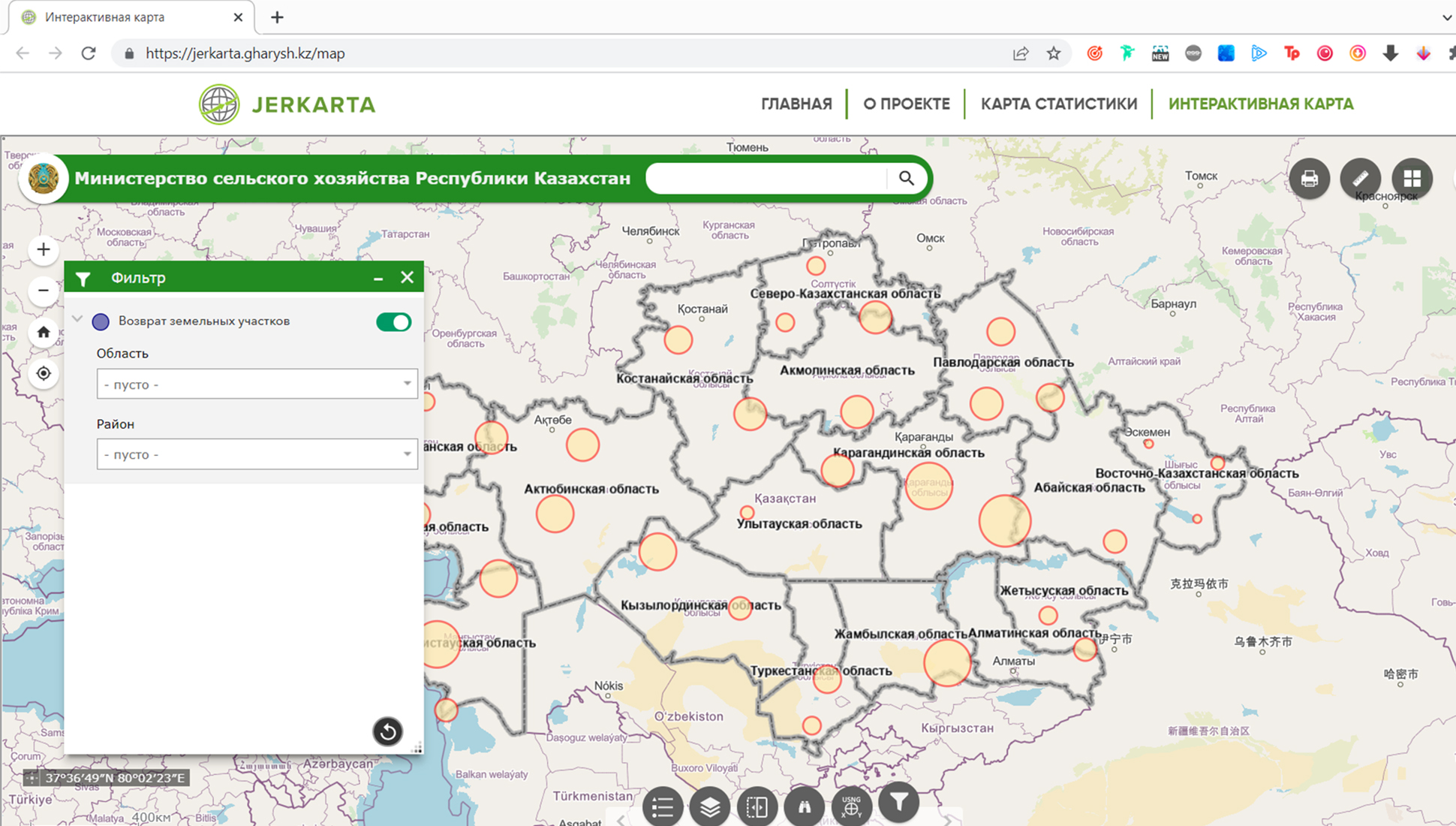
Kazakhstan has launched an interactive map of agricultural land that was returned to the state, it was developed by the Ministry of Agriculture and the Ministry of Digitalization, World of NAN reports with reference to the agricultural department.
The geoservice jerkarta.gharysh.kz contains all information on previously unused and issued illegal plots, which were returned to the state. The interactive map will allow citizens to monitor returned farmland at any time and will become a reference point for applying to local executive bodies for granting the right to these plots. Thus, farmers will be able to put unused farmland into circulation.
Further monitoring of the redistribution of plots is planned to be carried out on the platform of the Unified State Real Estate Cadastre, to which territorial departments of land resources management, akimats and employees of the Prosecutor's Office have access.
To ensure the transparency of the redistribution process it is proposed to implement a tender module on the basis of an electronic trading platform. Currently, according to the legislation, the tender for the transfer of the right to land use is held on paper.
Смотрите больше интересных агроновостей Казахстана на нашем канале telegram,
узнавайте о важных событиях в facebook и подписывайтесь на youtube канал и instagram.

















Обсуждение