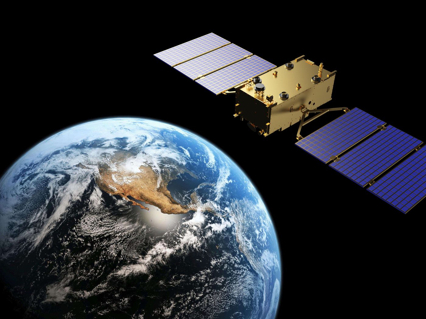
The EEC Board approved the global cooperative project of the Eurasian Economic Union countries in the sphere of rendering space and geoinformation services based on Earth remote sensing (ERS) data at a meeting held on April 28.
Artak Kamalyan, Member of the Board – Minister in charge of Industry and Agriculture of the Eurasian Economic Commission, has reported that all Union countries agreed the Eurasian interstate program in this area. Now it should be considered by the EEC Council and then approved by the Eurasian Intergovernmental Council at the level of Heads of Governments.
The document development was made possible by the initiative of the Russian, Kazakhstan and Belarusian enterprises participating in the Eurasian Technology Platform "Space and Geoinformation Technologies - Products of Global Competitiveness".
"After being instructed by the presidents of our countries, representatives of space agencies and leading manufacturers of space-system engineering of the Union worked side by side on developing the interstate program for a year. As a result, a genuinely high-quality, refined and most advanced document has been prepared,” the Minister noted.
Technologies for the Earth remote sensing from space are an indispensable, high-precision and near real-time tool for studying our planet which helps effectively manage its resources. Today's technologies enable offering unique solutions to improve the efficiency of mineral exploration and production, introduce the latest practices in agriculture, prevent emergencies and eliminate their consequences, protect the environment and control climate change.
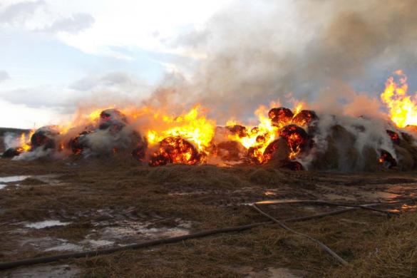
Satellites are used to assess, in particular, crop condition, soil characteristics and analyze how best to process agricultural plants in order to achieve top yields in a particular field. Satellites help understand how certain agricultural crops evolve in time in different Earth regions. About 80% of the information used for making weather forecasts is obtained from space. Satellite methods enable making forest stand maps, quickly identify fires and streamline procedures to extinguish them. The possibilities of systems for monitoring the planet from space are constantly growing.
In total, about 500 satellites engaged in remote sensing are in orbit. It is planned to increase their number to 1,200-1,300 already this year. And the Eurasian satellite group may join them very soon.
The interstate program is scheduled to be implemented from 2021 to 2025. To make this done, the Union countries and the Commission will need to jointly undergo three stages. The first stage is to combine current and prospective satellite constellations of the Union countries. As a result, the coverage of the territory under observation as well as the frequency of review and the speed of transmitting information to consumers will be increased. Accordingly, the combined satellite resources will become more competitive in the global space market.
At the second stage, the EAEU countries will create a single information portal - a data bank based on the combined space survey materials, and modernize national ground-based data acquisition and processing complexes. It will enable significantly improving the quality of geoinformation services provided to users of various economic sectors of the Union States.
Source: www.eurasiancommission.org
Смотрите больше интересных агроновостей Казахстана на нашем канале telegram,
узнавайте о важных событиях в facebook и подписывайтесь на youtube канал и instagram.



















Обсуждение