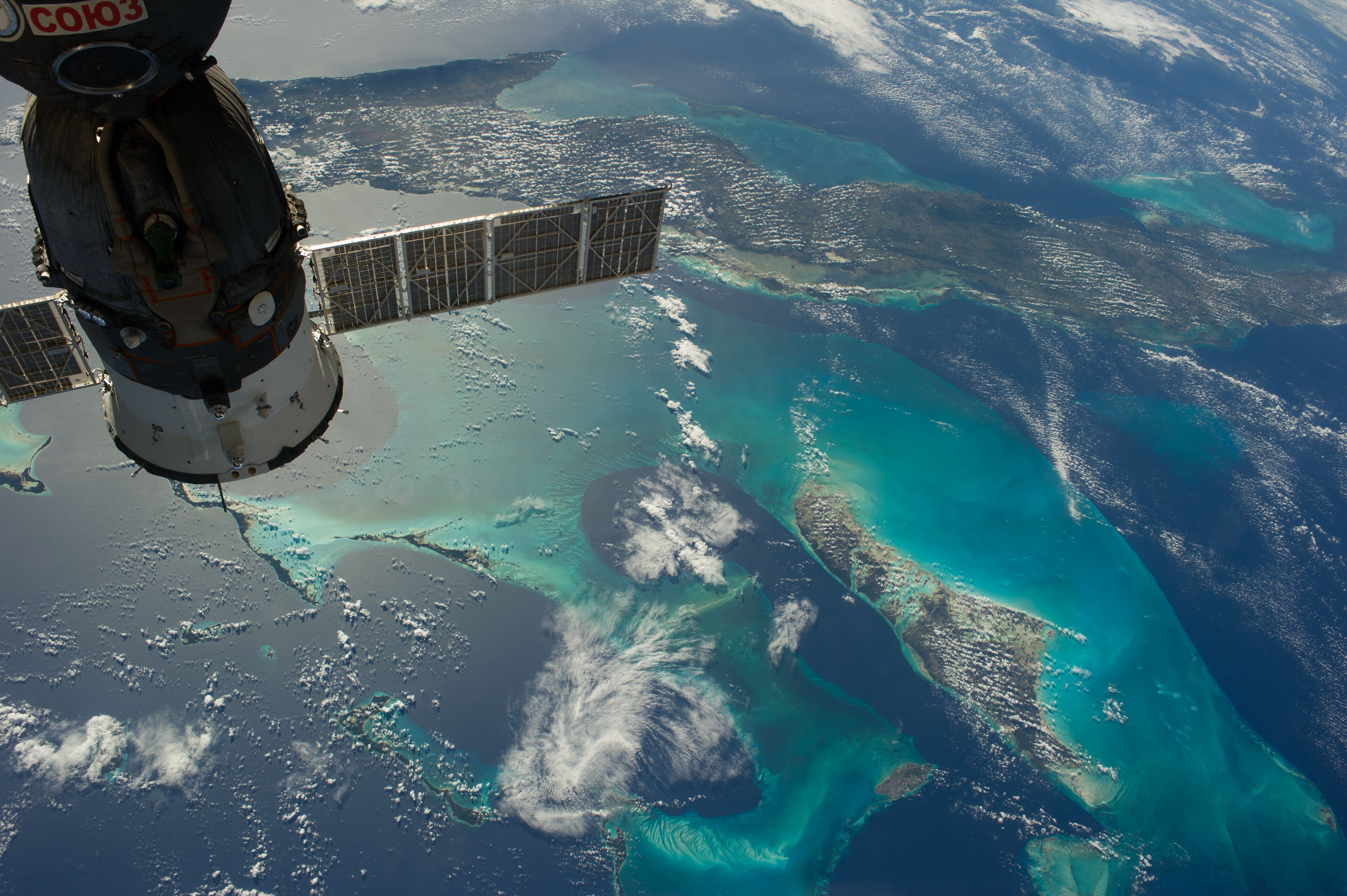
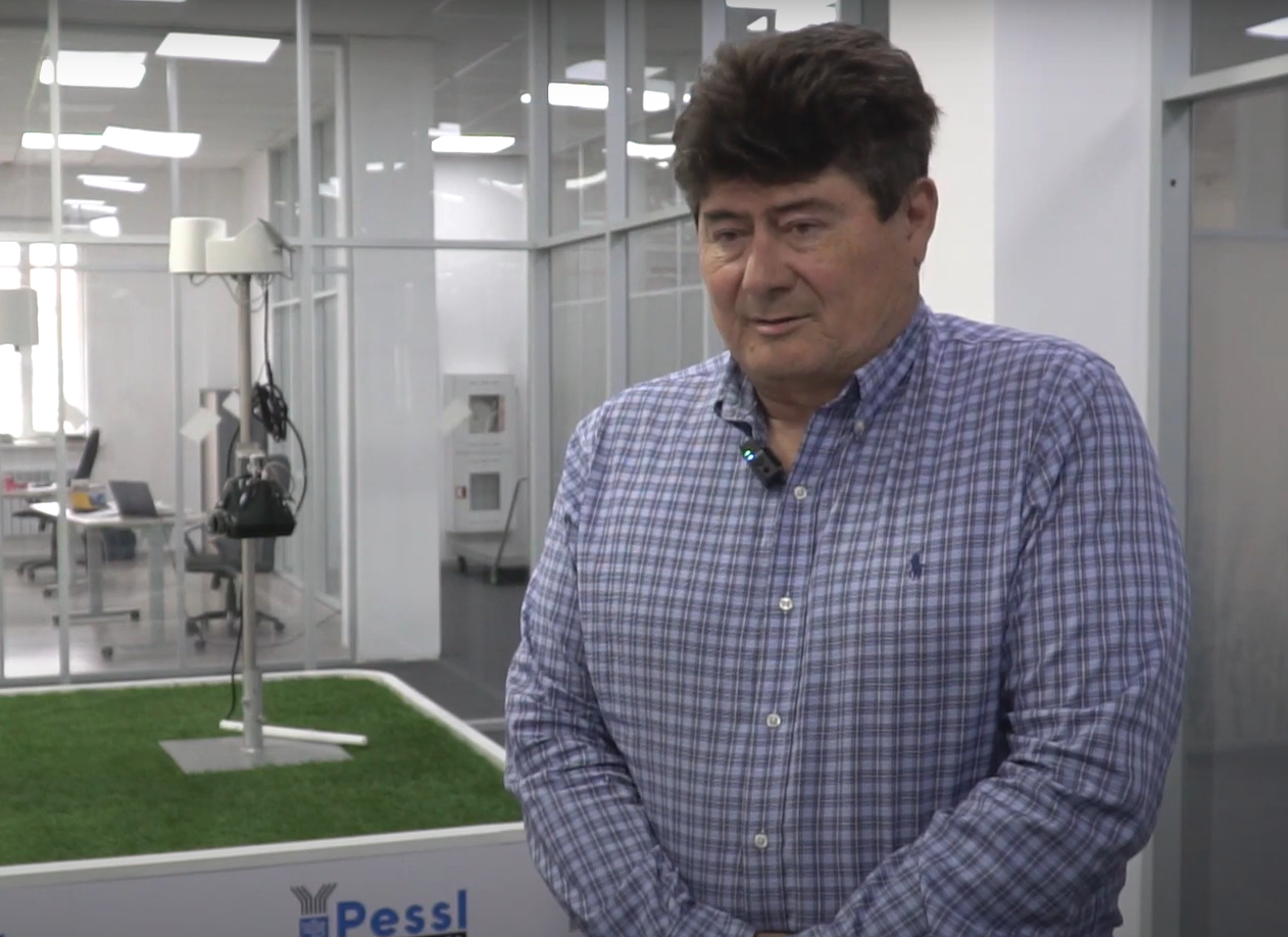
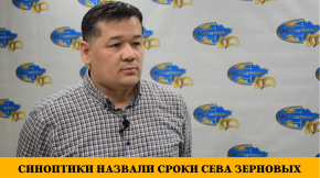
Vladimir Starodubtsev Ph.D., professor of the National University of Bioresources and Environmental Management of Ukraine explained whether it is possible to predict droughts using satellite imagery, World of NAN reports.
It should be noted that Vladimir Starodubtsev was very upset by the consequences of the drought in Kazakhstan. And he is extremely unhappy that people are left to face the dire consequences alone. As a proper example of what actions to take, he used an example of the winter of 1968-69, when severe frosts and heavy snow cover covered the southern regions of Kazakhstan.
"Emergency measures were taken then to save people and livestock. Literally helicopters were dropping bales of hay to feed livestock for the winter. And roads in the deep snow were pierced by military equipment to the villages," said the scientist.
In his opinion, organized assistance from the state is not enough, and the state has no resources. Therefore, taking into account the poor situation in some regions of Kazakhstan, it is not shameful to ask for support from international organizations and neighboring countries.
The scientist was also distressed by the fact that unscrupulous people stir up passions and contradictions between supporters of developing the water sector and irrigation, on the one hand, and those who wish to develop only cattle breeding, on the other hand. In his opinion, both these sectors should develop reasonably and in cooperation, and not blame each other.
"As for the long-term weather forecasts, they are very approximate and their feasibility is low. And space images are not very helpful in this regard. They are more useful for short-term weather forecasts," explained professor of the National University of Bioresources and Environmental Management of Ukraine.
Смотрите больше интересных агроновостей Казахстана на нашем канале telegram,
узнавайте о важных событиях в facebook и подписывайтесь на youtube канал и instagram.













Обсуждение