

Menu
-
News
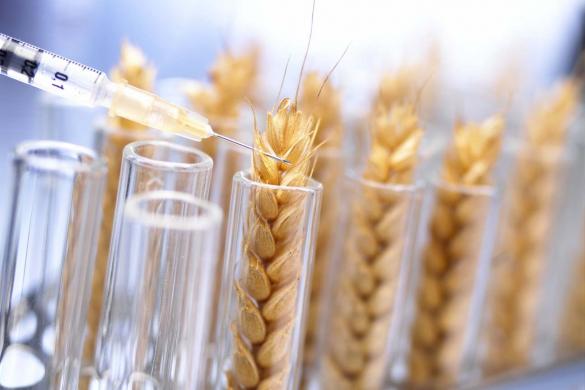
Genetically edited crops to begin trials in England
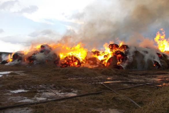
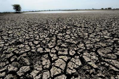
Hay fires are becoming more frequent in Kazakhstan
Weather forecasters will continue to forecast difficulties in harvesting
Sugar producer asks to raise investment subsidies

The best sheep were chosen at a competition in the Turkestan region

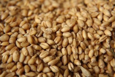
Today, a complete ban on wheat imports came into force

China needs grain supplies from Kazakhstan on a permanent basis

Russia may ban the export of original seeds

Kyrgyzstan has quintupled imports of cattle from Kazakhstan

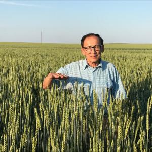
Farmers developing villages deserve respect
-
Blogs

Will Uzbekistan stop buying Kazakh meat?
Russia needs Kazakh beef
What does the state and farmers need?
ACROS 595 Plus: When you need more
Export of Kazakh barley under threat
Do Kazakh farmers need innovation?
Is there a need for an agricultural census in Kazakhstan?
In 30 years, has the agro-industrial complex only regained the performance of the 1990s?
How much of the government money passes through NASEC?
Who will win in the war between processors and farmers?
-
Media library
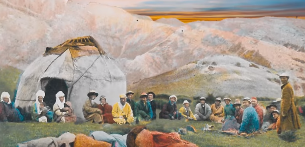
The Earth gravity
Dosym Satpayev's film "Nomads of the Dead Steppe"
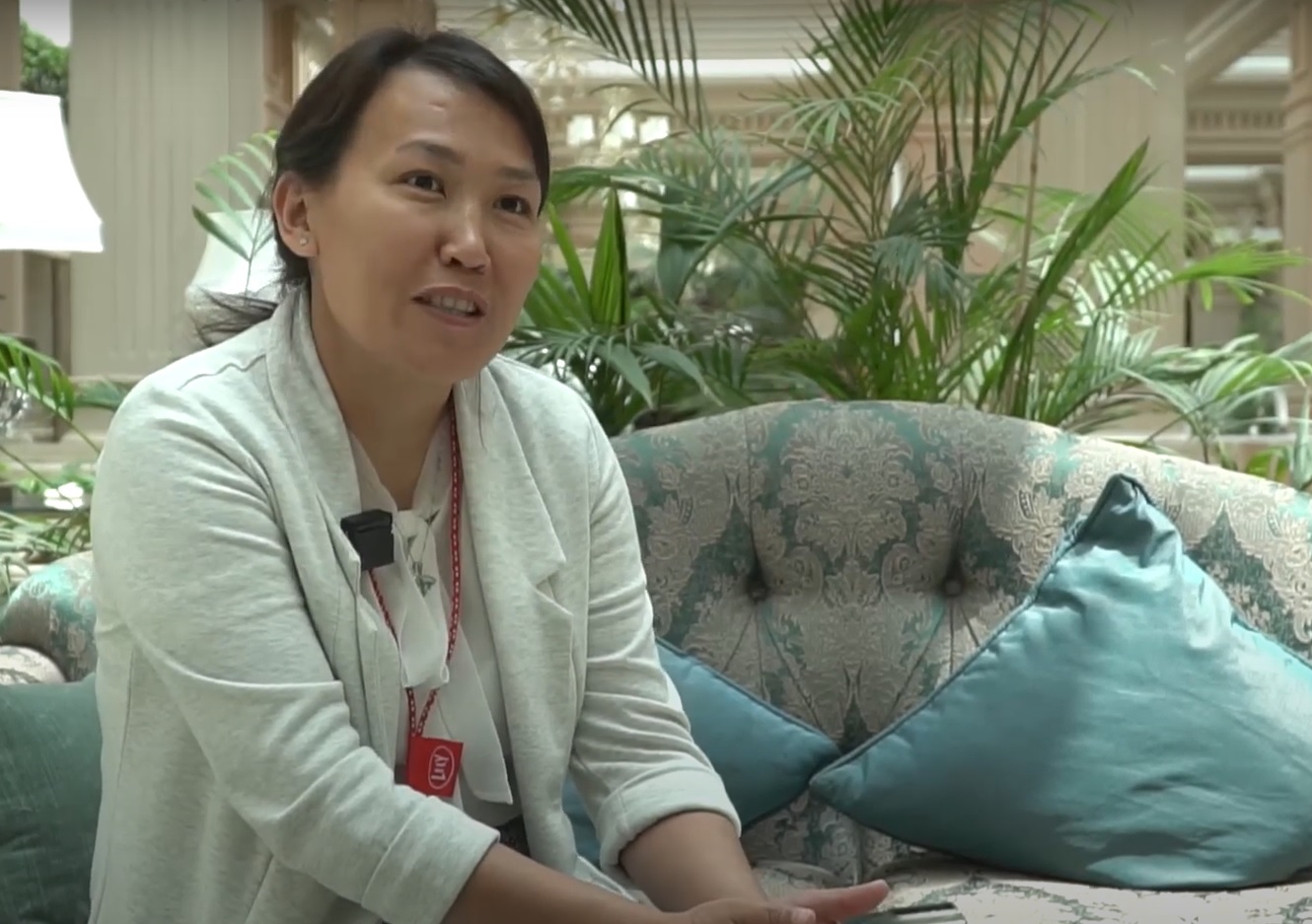
What will the dairy farm of the future look like?

DIGITAL MTS BY EURASIA CROP CARE
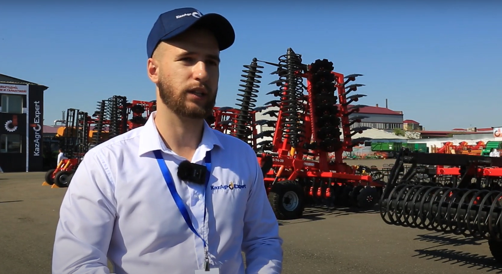
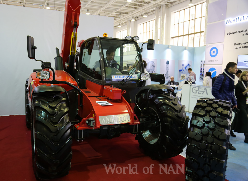
Farmers tested agricultural machinery at the KazAgroExpert exhibition site
International agricultural exhibition
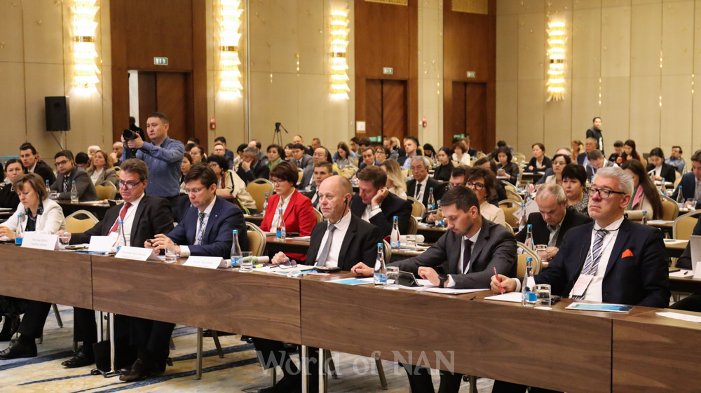
III EAEU Conference in the capital of Kazakhstan
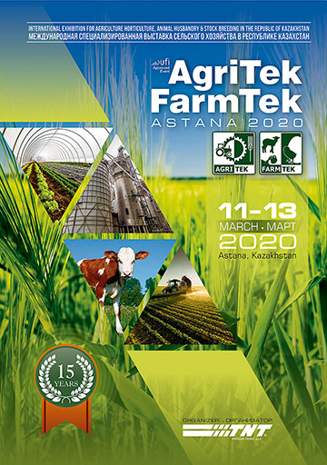
AgriTek/FarmTek Astana2020
- Posters
-
Video

Farmers tested agricultural machinery at the Kaz...
DIGITAL MTS BY EURASIA CROP CARE

What will the dairy farm of the future look like?
STEPAN TEN: "THE BIGGEST CHALLENGE IN THE DAIRY ...
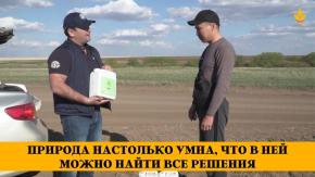
Nature is so clever that all solutions can be fo...
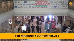
XIII Dairy Olympics
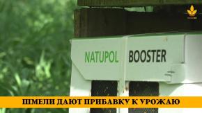
Bumblebees boost harvests
A wonder shovel for farmers by Stenon
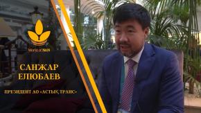
The geography of exports is expanding. What will...
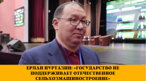
Yerlan Nurtazin: "the state does not support the...
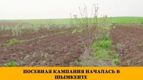
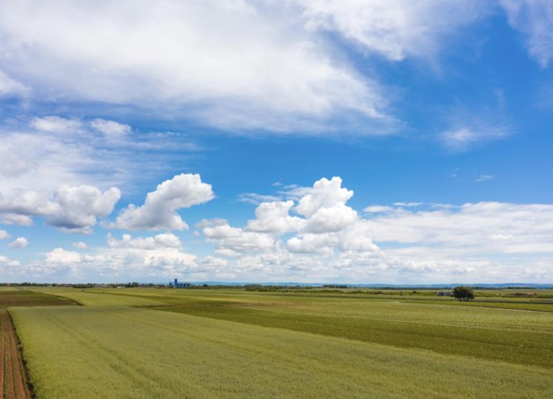
Sowing campaign in Shymkent has started
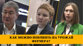
How can a company influence a farmer's harvest?
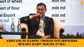
Kintal Islamov: "Any restrictions make our life ...
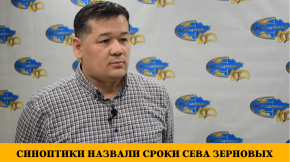
Weather forecasters have announced sowing dates ...

Blitz survey: how have the anti-Russian sanction...
-
Investmets
What plans does CLAAS have in Kazakhstan?
Greenhouse based on Israeli technology is planned to be opened in the south
Sugar factory is looking for an investor
Qatar is interested in Kazakhstan's agro-industrial complex
Industries of Kazakhstan
China and Turkey are investing in agricultural projects in Kazakhstan
Plants of Kazakhstan
Natural Resources of Kazakhstan
Belgium to expand contacts with Kazakh flax exporters
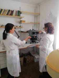
A Kazakh scientist has developed a method of obtaining fertilizer from rice husks


Обсуждение