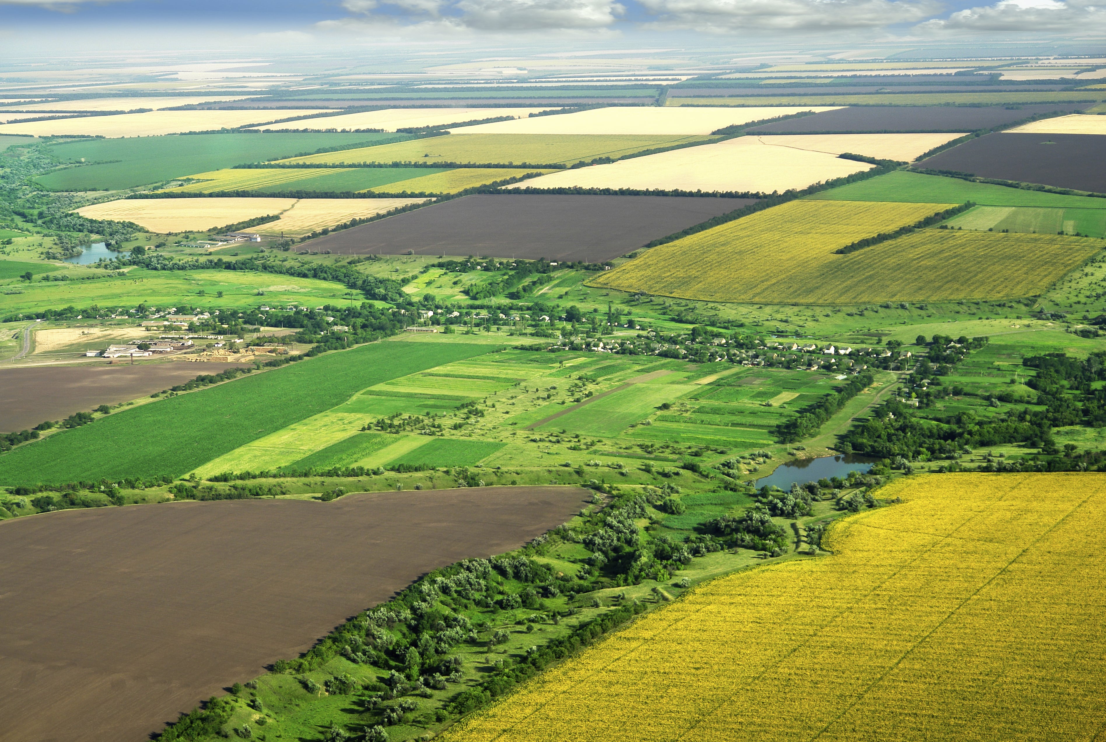
As of January 1, 2021 space-based monitoring of agriculture started all over Kazakhstan. Satellite-based monitoring to control pasture and arable land use was introduced in Pavlodar region as well, reports World of NAN referring to the Administration of Urban Planning and Land Control of the region.
If we talk about pastures, the system automatically checks their load for compliance with established norms. The process of identifying unused arable land is slightly different - the remote sensing system allows you to see what crops are cultivated on this or that field, what chemical treatment was conducted on their territory and so on.
"If any violations are detected, the results of space monitoring will be sent to land users. Failure to use the land entails administrative responsibility and a fine of 10 times the land tax rate. After one year the problem site is again checked via the system and if the violations are not eliminated local authorities have the right to initiate the procedure of forced land withdrawal", - note specialists of the Department.
To recall, last year the Ministry of Agriculture of Kazakhstan approved the rules of rational use of agricultural lands. They stipulate when and how much fertilizers should be applied to land depending on initial yield point, what chemicals to use to control weeds and pests, how many cattle can be driven to certain pastures and other.
Today in Kazakhstan the survey of agricultural lands and production of electronic soil and geobotanical maps are carried out. Soil maps show indicators of soil fertility and productivity, qualitative and meliorative state of lands and their agro-productive grouping. And geobotanical indicators indicate the productivity and fodder capacity of lands to calculate the number and content of livestock. Such a survey allows evaluation of each plot of land.
Смотрите больше интересных агроновостей Казахстана на нашем канале telegram,
узнавайте о важных событиях в facebook и подписывайтесь на youtube канал и instagram.
















Обсуждение