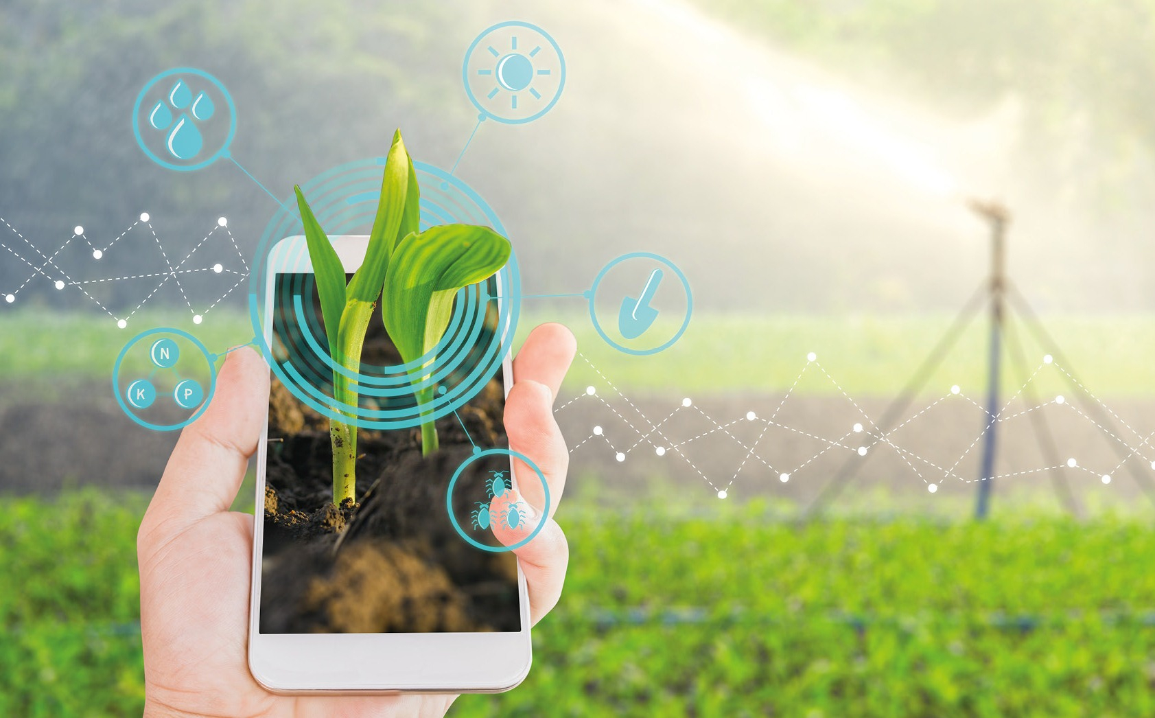
Weather is one of the most important factors influencing work processes in agriculture. It affects the soil, plant growth phases and many other parameters. It is usually the abnormal weather that causes most of the total annual crop losses.
At the same time, losses can be significantly reduced if the weather is forecast in a timely and accurate manner, which also makes it possible to plan seasonal work correctly and select crops that are suitable for specific climatic conditions.
Today, data on precipitation, temperature, wind, air pressure and humidity can be collected into a single weather monitoring platform accessible from any device. Domestic and western companies already offer farmers such systems, and each year they develop, becoming more convenient and functional.
At the same time, there are currently three main technologies used in weather monitoring: intelligent IoT sensors for data collection and analysis, satellites and weather stations, and artificial intelligence and machine learning systems. Let us consider each of them separately.
IoT-sensors
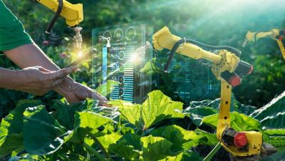
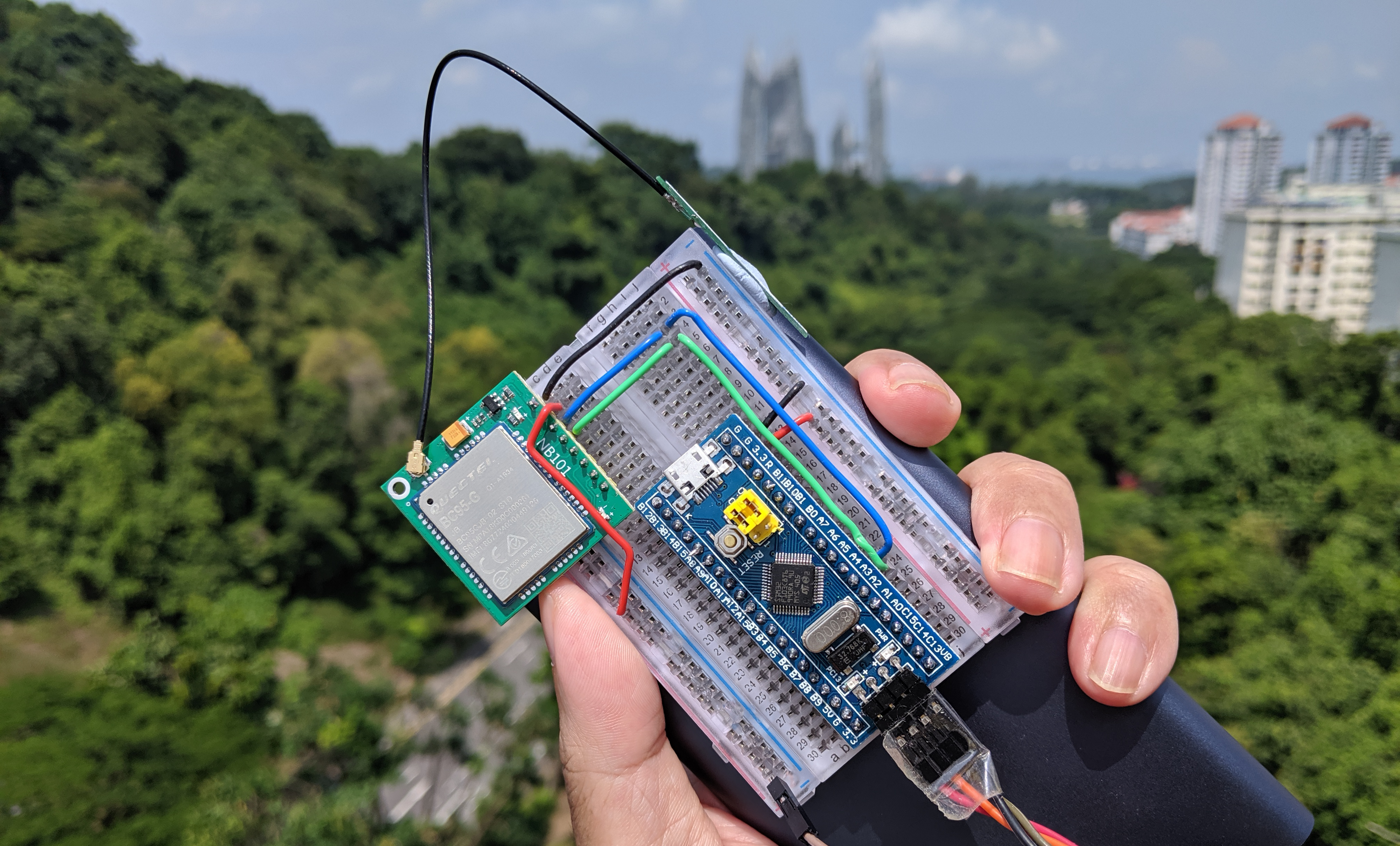 IoT sensors installed in the fields form the basis of a unified weather monitoring system. Cloud computing platforms, where all the information from the sensors is collected, process the collected data so that at the output the farmer can receive alarms or notifications of potential weather threats that may affect the crops.
In general, using IoT sensors, farmers can receive real-time information about the environment, soil conditions and impending frosts or rainfall, which makes it possible to significantly increase final yields.
Satellite data and hardware stations
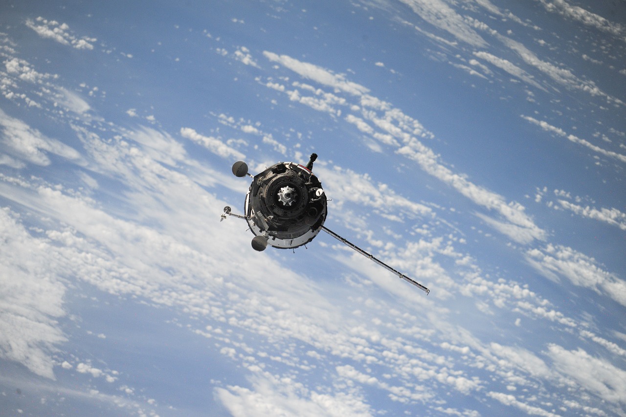 Farmers can use satellite data, in particular aerial imagery, to monitor the weather and harvest. Satellites can be used in two ways. Firstly, as a source of data for weather forecasting applications used by farmers. Secondly, as transmitters of data collected from agricultural weather stations installed in the fields. This method is, of course, more expensive in its own right, so it is more profitable to turn to specialized companies for services.
In general, farmers can use satellites to access geospatial and meteorological data to prepare their fields for abnormal or adverse weather conditions. They can also be used to monitor global climate change and forecast weather events such as fires and floods.
Satellites are most often monitored by government organisations and are therefore not always available for individual use. However, they provide a fairly accurate picture of the weather conditions in a given area.
Artificial intelligence and machine learning
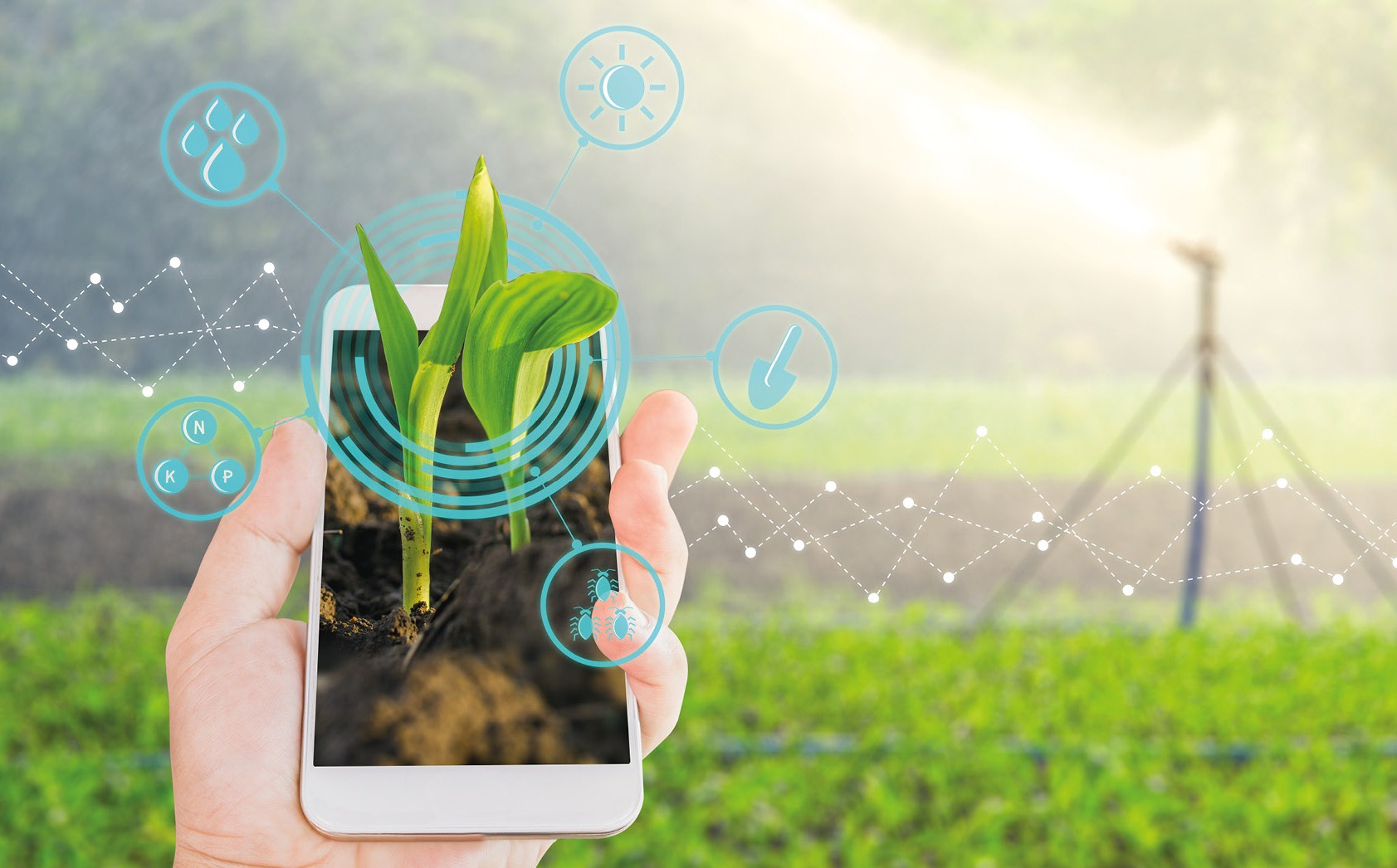 The use of artificial intelligence and machine learning for weather forecasting is the newest and most promising technological trend in agriculture. Like any other AI solution, weather forecasting requires huge amounts of data for algorithm development (machine learning). These data can be obtained from connected sensors, satellites and local hardware weather stations.
The downside is that forecasts obtained in this way require a lot of computing power to process large amounts of data, and a powerful storage facility is required to store this data for future use.
It should also be noted that increasing the number of accurate data sources is essential for successful weather forecasting in this way. But by collecting information from satellites in orbit, from meteorological stations on the surface, and from special sensors installed in the field, the most accurate weather information can be obtained. This method helps to recognise the effects of the slightest changes in temperature and humidity and to identify potential weather threats based on changes in wind direction and other parameters.
This technology is not yet as available to farmers, but in the future it may become the main technology for weather forecasting and agricultural planning.














 IoT sensors installed in the fields form the basis of a unified weather monitoring system. Cloud computing platforms, where all the information from the sensors is collected, process the collected data so that at the output the farmer can receive alarms or notifications of potential weather threats that may affect the crops.
 Farmers can use satellite data, in particular aerial imagery, to monitor the weather and harvest. Satellites can be used in two ways. Firstly, as a source of data for weather forecasting applications used by farmers. Secondly, as transmitters of data collected from agricultural weather stations installed in the fields. This method is, of course, more expensive in its own right, so it is more profitable to turn to specialized companies for services.
  The use of artificial intelligence and machine learning for weather forecasting is the newest and most promising technological trend in agriculture. Like any other AI solution, weather forecasting requires huge amounts of data for algorithm development (machine learning). These data can be obtained from connected sensors, satellites and local hardware weather stations.

Обсуждение