The Aral Sea is almost lost
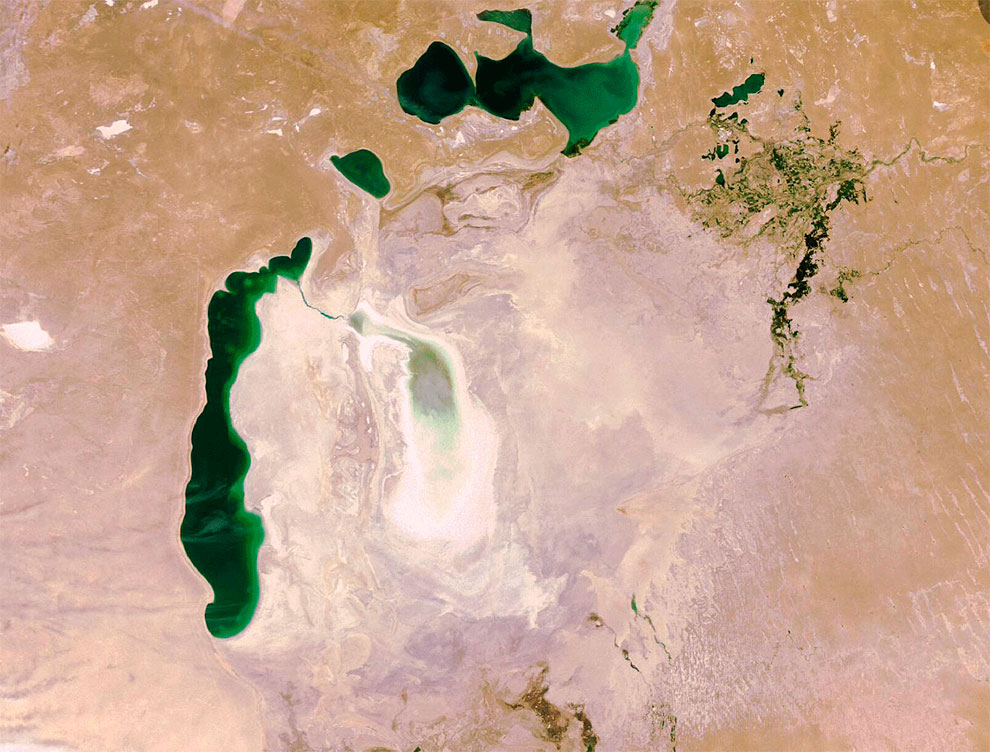
Photo by turism.boltai.com
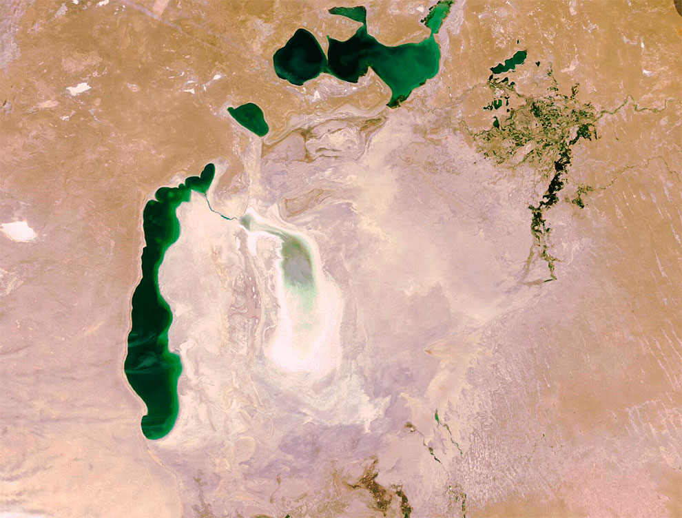
This is what the once fourth lake in the world, the Aral Sea, looks like from space. Although the Aral Sea began to dry up in the second half of the last century, the prerequisites for an environmental disaster were laid in the thirties of the 20th century. It was in those years that a large-scale program of reclamation of the Central Asian republics was developed. The two largest rivers in the region, the Syrdarya and the Amudarya, were used to build irrigation facilities. They are the ones that feed the Aral. Only one grandiose Karakum canal, which is 1445 kilometers long, took 45 percent of its flow from the Amudarya. For several decades, the water level in the Aral Sea remained unchanged. By the beginning of the sixties the area of the reservoir exceeded 68 thousand square kilometers, its length was 426 kilometers, 284 kilometers - width, depth reached 69 meters. Annually over 40 thousand tons of fish were caught here. Five fish factories, a canning factory, 45 fish collection points worked on the Kazakh coast, as many factories worked on the Uzbek part of the Aral Sea, more than 20 fish collection points. The area of irrigated areas was increased from 4.2 million ha in 1950 to 7.4 million ha in 1989. Accordingly, water consumption for agriculture increased, resulting in a decrease in the flow of the Amudarya and Syrdarya into the Aral Sea.
The Greater and Lesser Aral
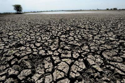
However, by the early sixties the picture began to change dramatically. Aral began to chalk. Since then, the sea has dried up 0.7 meters every year. The area of the reservoir decreased almost by 8 times, the volume of water 13 times. Especially the sea began to dry out by the beginning of the sixties. According to both domestic and foreign ecologists, before the early eighties the Aral could have been saved. For this purpose, it was necessary to reduce the area under crops of cotton. However, it did not happen. In 1989 the sea was divided into two parts - the North (Greater) and South (Lesser) Aral Sea. And a few years later, in 2003, the same fate befell, the so-called South Aral, it was divided into eastern and western parts. Today, as a result of the drying up of the reservoir and a sharp increase in its salinity level, only 6 of the 32 fish species that inhabited the area in the 1960s remain. The bottom of the former sea is the Aralkum desert, the territory of which is 45 thousand square kilometers.
Every year about 100 thousand tons of salt and poisonous dust rise into the air. Their traces are found even in the Scandinavian countries and the Arctic Ocean. The area of the Lesser Aral Sea is more than three thousand square kilometers, while in 1969 it was 68,000 square kilometers. After the construction of the Kokaral arm from the former island of Kokaral to the Syrdarya delta in 2005, the level of the Little Aral began to rise rapidly, salinity and mineralisation decreased, which even allowed for the cultivation of some commercial fish varieties. The full recovery of the sea would require four times the annual inflow of Amudarya and Syrdarya waters compared to the current average of 13 cubic kilometers. Water quality in the Syrdarya cannot be omitted. It is getting worse. And has been deteriorating for several decades now. Active discharges of poorly treated and sometimes untreated wastewater from industrial enterprises have not passed without a trace. This has led to increased mineralization of water. In addition, in 2015, a number of Kazakh experts, after conducting analyses, determined the water in the Syrdarya River as not suitable for irrigation.
















Обсуждение